German postcard map of the Western Front in Flanders, looking south and including Lille, Arras, Calais, and Ostend. In the Battle of the Yser in October, 1914, the Belgian Army held the territory south of the Yser Canal, visible between Nieuport, Dixmude, and Ypres (Ypern). Further north is Passchendaele, which British forces took at great cost in 1917.
Der KanalStraße von CalaisThe English Channel and the Strait of CalaisReverse:Panorama des westlichen Kriegsschauplatzes 1914/15 Von Arras bis Ostende.Die Panorama-Postkartenreihe umfaßt mit ihren 9 Abschnitten Nr. 400 bis 408 den gesamten westlichen Kriegsschauplatz von der Schweizer Grenze bis zur Nordseeküste.Panorama of the western theater of operations 1914/15 from Arras to Ostend. The panoramic postcard series includes nine sections, with their No. 400-408 the entire western battlefield from the Swiss border to the North Sea coast.Nr. 408Wenau-Postkarte Patentamtl. gesch.
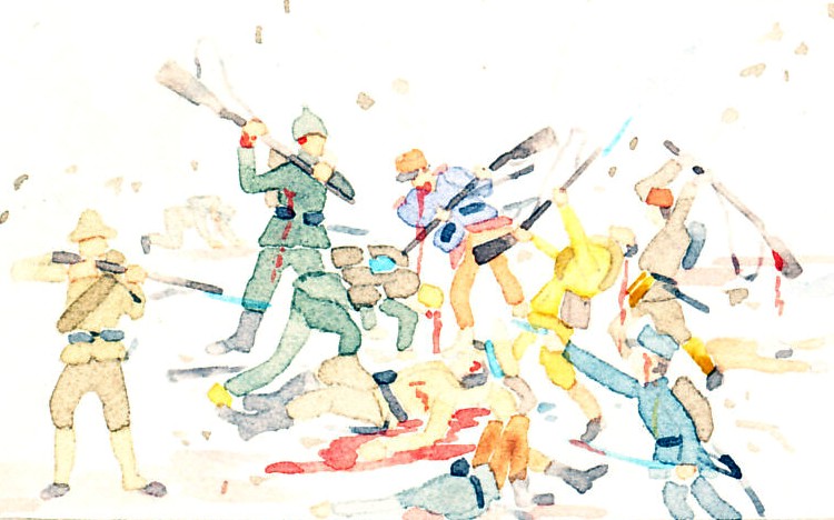
"On the 21st [of October 1914], in the morning, a fresh attempt to carry Dixmude; and another check. The Germans commenced a formidable general offensive. In the afternoon their attacks once again spent themselves upon Schoorbakke and Dixmude; they failed before the tenacity of our troops.From the sea the British Fleet, which had come to our rescue, enfiladed the German forces with the murderous fire of its guns. But our enemies were courageous, and they sacrificed themselves with the fury of despair."
Excerpt from an address by Carton de Wiart, Belgian Minister of Justice, in London, June, 1915. The German high command was trying to break the Belgian line on the Yser Canal, The battle continued, from October 16 to 30, with the Germans repeatedly failing. British monitors and destroyers off the coast bombarded the German lines and artillery.
The Great Events of the Great War in Seven Volumes by Charles F. Horne, Vol. II, 1914, pp. 319, 320, copyright © 1920 by The National Alumnia, publisher: The National Alumni, publication date: 1920
Dixmude, 1914, October, 1914-10-21, Yser, Belgian Army