Map of northeastern Italy, the border with Austria-Hungary, and the northern Adriatic. Red lines mark railroads and red dots forts.
Südl. Kriegsschauplatz, 1. Italienisch-Österr.-Ungarn GrenzgebietSouthern theater of operations. 1. Italian-Austrian-Hungarian border areaReverse:Postkarte des südlichen (Ital.-Österr.-Ungar.) Kriegsschauplatzes Nr. 1. Import.Logo LB
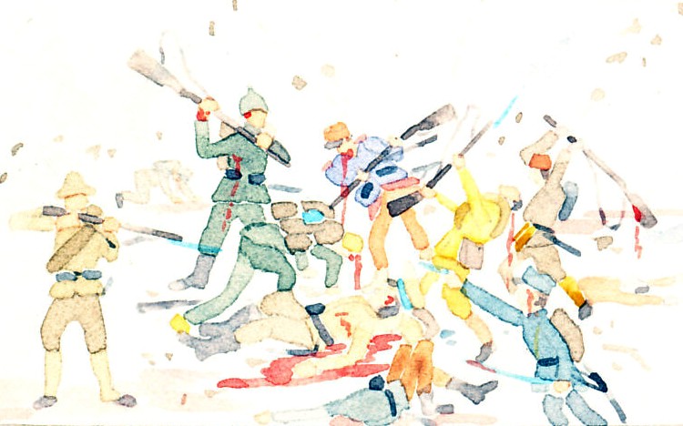
"At 02:00 on 19 August [1915], the Italians captured the enemy's front line on Mrzli, an unusually well-built trench that snaked below the summit ridge. This was the notorious 'trincerone' or Big Trench. Under it, the ground fell to the Italian positions. The Austrians had only to push rocks down the mountain at the right moment for an attack to fail."
From Switzerland to the Adriatic Sea, Austria-Hungary held the high high ground along its border with Italy. Along the narrow front northeast of Venice, Italy would attack repeatedly in Battles of the Isonzo River. By mid-August, 1915, Italy and Austria-Hungary had already fought the two Battles, the First costing Italy 15,000 casualties, the Second 42,000.
The White War: Life and Death on the Italian Front, 1915-1919 by Mark Thompson, page 111, copyright © 2008 Mark Thompson, publisher: Basic Books, publication date: 2009
1915-08-09, 1915, August, Italian Front, rocks